Barkas:Balkan peninsula line.jpg
Ora ana résolusi kang luwih dhuwur.
Balkan_peninsula_line.jpg (558 × 530 piksel, ukuran barkas: 169 KB, jinis MIME: image/jpeg)
Ringkesan
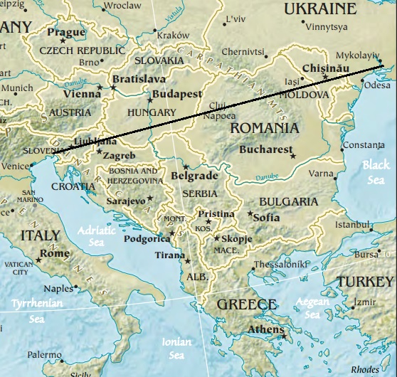
| Panyandra | Map of the Balkan peninsula, showing the line stretching from the northernmost point of the Adriatic to the northernmost point of the Black Sea. Made from Europe map at The Central Intelligence Agency World Factbook, which is in the public domain. |
| Sumber | https://www.cia.gov/library/publications/the-world-factbook//graphics/ref_maps/physical/jpg/europe.jpg |
| Juru pangarang | CIA |
| Vèrsi liya |
|
.jpg)
Lisènsi
Berkas ini berada pada domain publik karena berisi material yang berasal dari The World Factbook yang dipublikasikan oleh CIA
|
 |


Sajarahing berkas
Klik ing tanggal/wektuné saprelu ndeleng rupané barkasé nalika tanggal iku.
| Tanggal/Wektu | Gambar cilik | Alang ujur | Naraguna | Tanggepan | |
|---|---|---|---|---|---|
| saiki | 16 Januari 2014 12.27 | | 558 × 530 (169 KB) | Denniss | Reverted to version as of 22:51, 26 December 2013 |
| 15 Januari 2014 21.21 |  | 348 × 382 (43 KB) | Ivan VA | stop vandalizing maps | |
| 26 Dhésèmber 2013 22.51 |  | 558 × 530 (169 KB) | No More Cats | Please don't revert to outdated versions of maps | |
| 26 Dhésèmber 2013 22.43 |  | 348 × 382 (43 KB) | Nikola Smolenski | Reverted to version as of 19:13, 3 November 2006 | |
| 17 Dhésèmber 2013 16.06 |  | 558 × 530 (169 KB) | No More Cats | Map of the Balkan peninsula, showing the line stretching from the northernmost point of the Adriatic to the northernmost point of the Black Sea. Made from most recent map at [https://www.cia.gov/cia/publications/factbook/reference_maps/jpg/europe.jpg]. | |
| 3 Novèmber 2006 19.13 |  | 348 × 382 (43 KB) | Nikola Smolenski | Map of the Balkan peninsula, showing the line stretching from the northernmost point of the Adriatic to the northernmost point of the Black Sea. Made from map at [https://www.cia.gov/cia/publications/factbook/reference_maps/jpg/europe.jpg]. |
Panggunaning berkas
Ora ana kaca kang nganggo barkas iki.