Barkas:Septentrionales.jpg
Berkas asli (1.904 × 1.370 piksel, ukuran barkas: 334 KB, jinis MIME: image/jpeg)
| Panyandra |
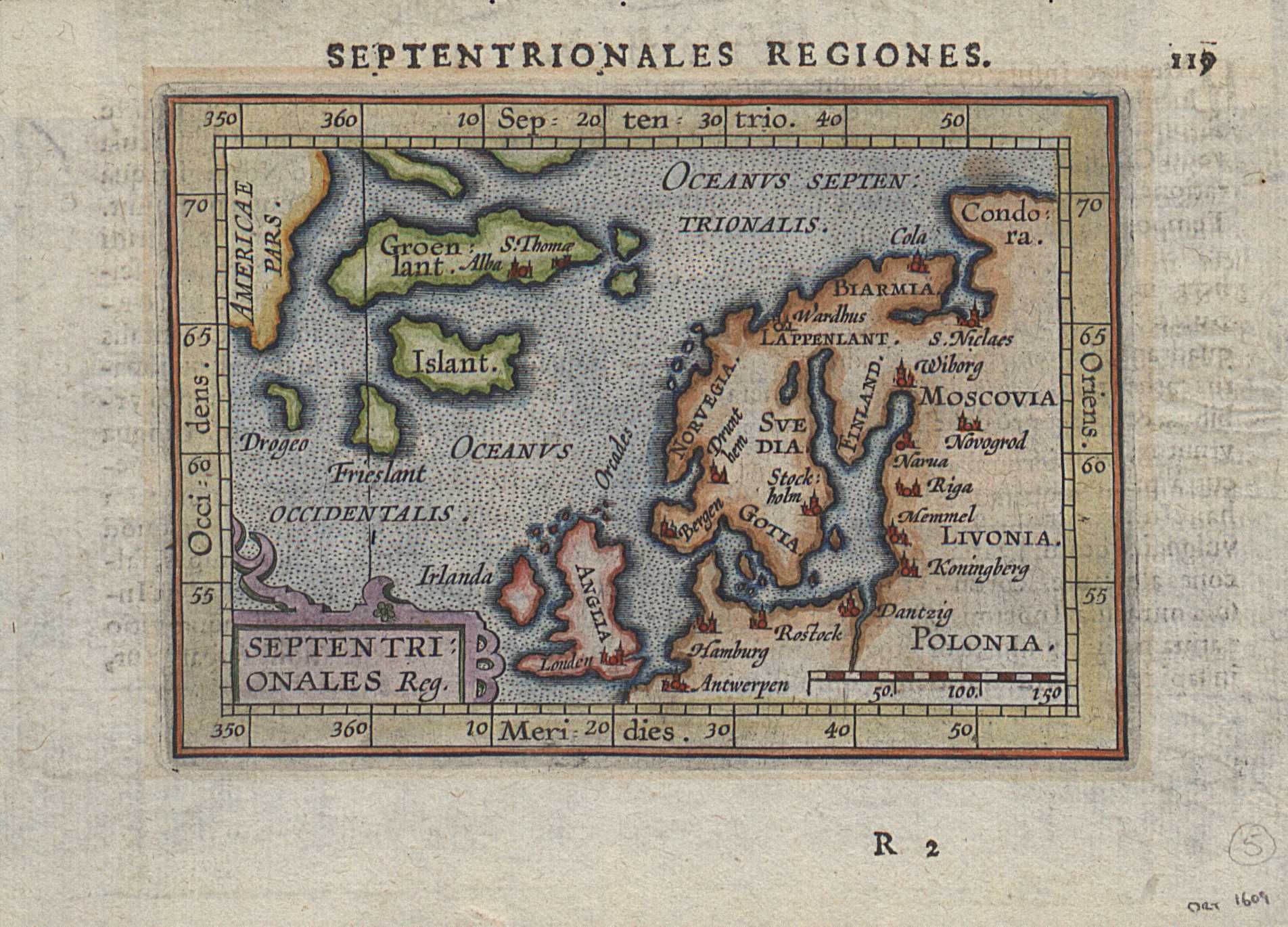
"Septentrionales region", a Dutch map of Northern Europe (1601). Author: Johannes Vrients, Netherlands. Source: https://islandskort.is/en/map/show/67 |
|||||
| Tanggal | ||||||
| Sumber | Johannes Vrients | |||||
| Juru pangarang | Johannes Vrients | |||||
| Idin (Nganggo manèh barkas iki) |
|
|||||
Log unggah asli
- 2007-06-19 17:04 Ghirlandajo 1024×742×8 (288083 bytes) "Septrionales region", a Dutch map of Northern Europe (1601). Author: Johannes Vrients, Netherlands. Source: http://biarmia.narod.ru/17.html {{PD-art}}
Sajarahing berkas
Klik ing tanggal/wektuné saprelu ndeleng rupané barkasé nalika tanggal iku.
| Tanggal/Wektu | Gambar cilik | Alang ujur | Naraguna | Tanggepan | |
|---|---|---|---|---|---|
| saiki | 31 Juli 2019 13.11 | | 1.904 × 1.370 (334 KB) | Fern 24 | Higher-resolution version |
| 6 Agustus 2007 17.11 |  | 1.024 × 742 (281 KB) | Hardscarf | {{Information |Description="Septrionales region", a Dutch map of Northern Europe (1601). Author: Johannes Vrients, Netherlands. Source: http://biarmia.narod.ru/17.html |Source=Originally from [http://en.wikipedia.org en.wikipedia]; description page is/wa |
Panggunaning berkas
Kaca ing ngisor iki nganggo barkas iki:
Panggunané barkas sajagat
Wiki liya ngisor iki nganggo barkas iki:
- Kanggo ing af.wikipedia.org
- Kanggo ing bg.wikipedia.org
- Kanggo ing de.wikipedia.org
- Kanggo ing en.wikipedia.org
- Kanggo ing es.wikipedia.org
- Kanggo ing fa.wikipedia.org
- Kanggo ing fi.wikipedia.org
- Kanggo ing fr.wikipedia.org
- Kanggo ing gv.wikipedia.org
- Kanggo ing id.wikipedia.org
- Kanggo ing it.wikipedia.org
- Kanggo ing ja.wikipedia.org
- Kanggo ing ko.wikipedia.org
- Kanggo ing lt.wikipedia.org
- Kanggo ing nl.wikipedia.org
- Kanggo ing nn.wikipedia.org
- Kanggo ing no.wikipedia.org
- Kanggo ing se.wikipedia.org
- Kanggo ing sv.wikipedia.org